
Satellite
Satellite data technology continues to make huge strides in accessibility and application. Today, multispectral data can be collected today at about 1 m resolution. Companies in the space sector now launch constellations of identical satellites for frequent overpasses. Satellite images are a viable option for those with spatial requirements that exceed the practical range of UAV’s.
Our Experience Includes:
- Satellites/sensors tasked include: Quickbird, Landsat, SPOT, ASTER, MODIS, Resurs01, AVHRR, WorldView, Sentinel 1, Sentinel 2, Sentinel 3, RADARSAT 1 and RADARSAT 2.
- Interferometric SAR analysis (InSAR).
- Polarimetric analysis.
- Coherent Change Detection (CCD).
- SAR and optical data fusion/temporal classification.
- NextGen can deploy field validation programs coincident with your optical or microwave satellite imaging on land, water, and ice, during any season.
- We can combine field sampling with timely low-altitude sensing (UAV) using visible, or thermal IR data to simpify the interpretation of spaceborne data.
- Inquire about a combination of UAV and high resolution optical satellite data.
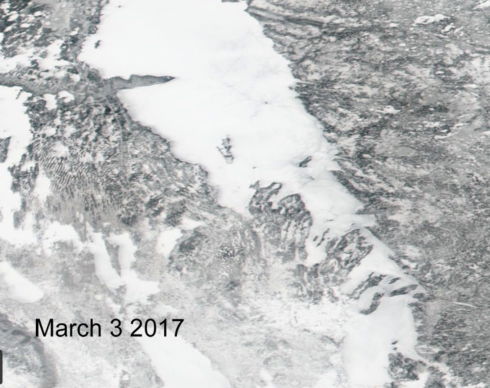
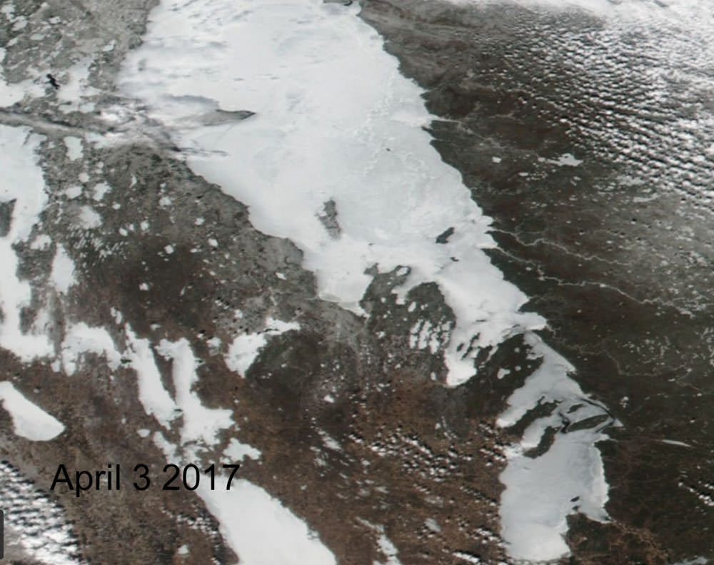
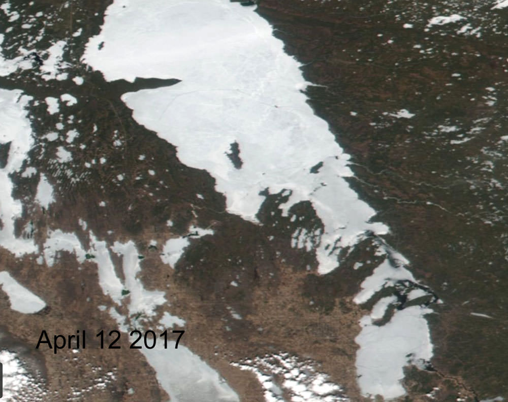
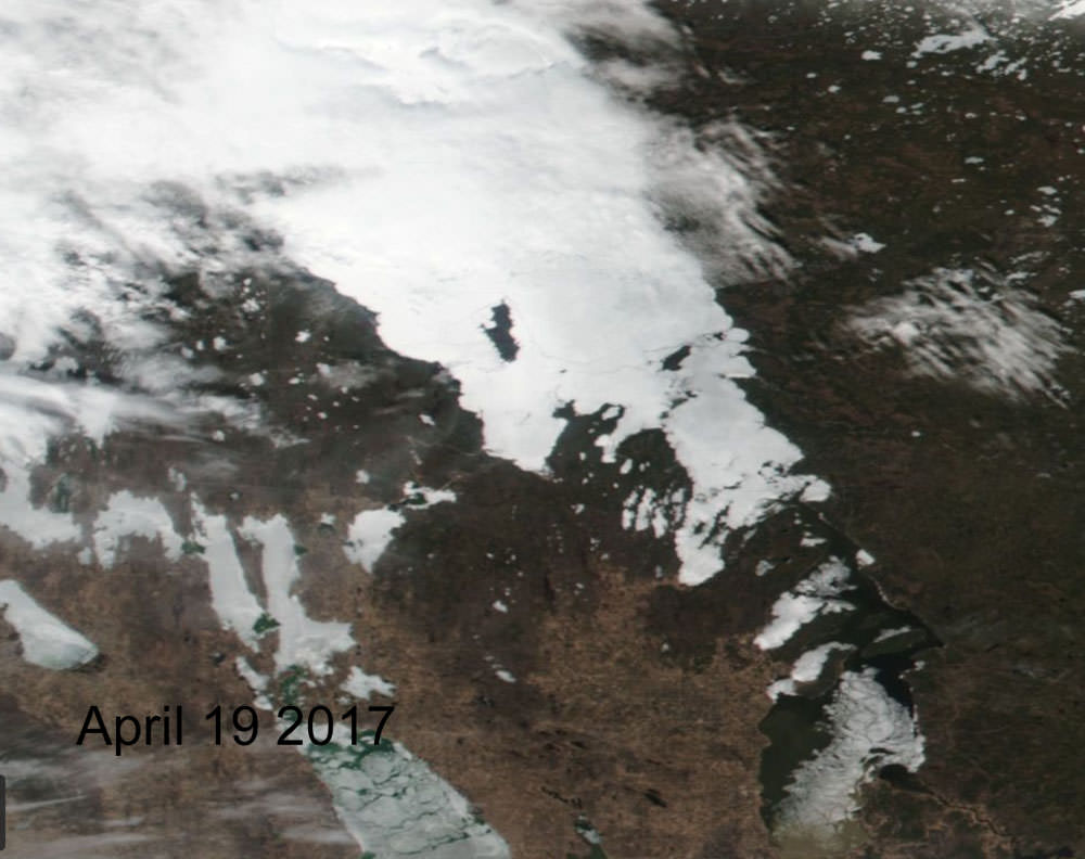
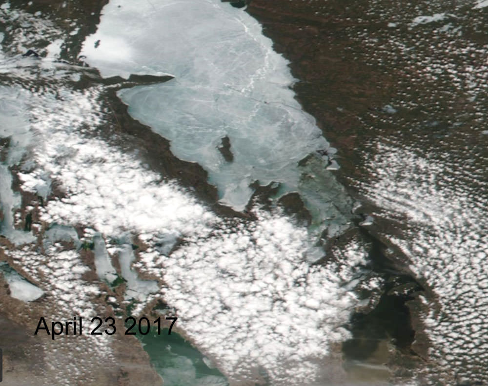
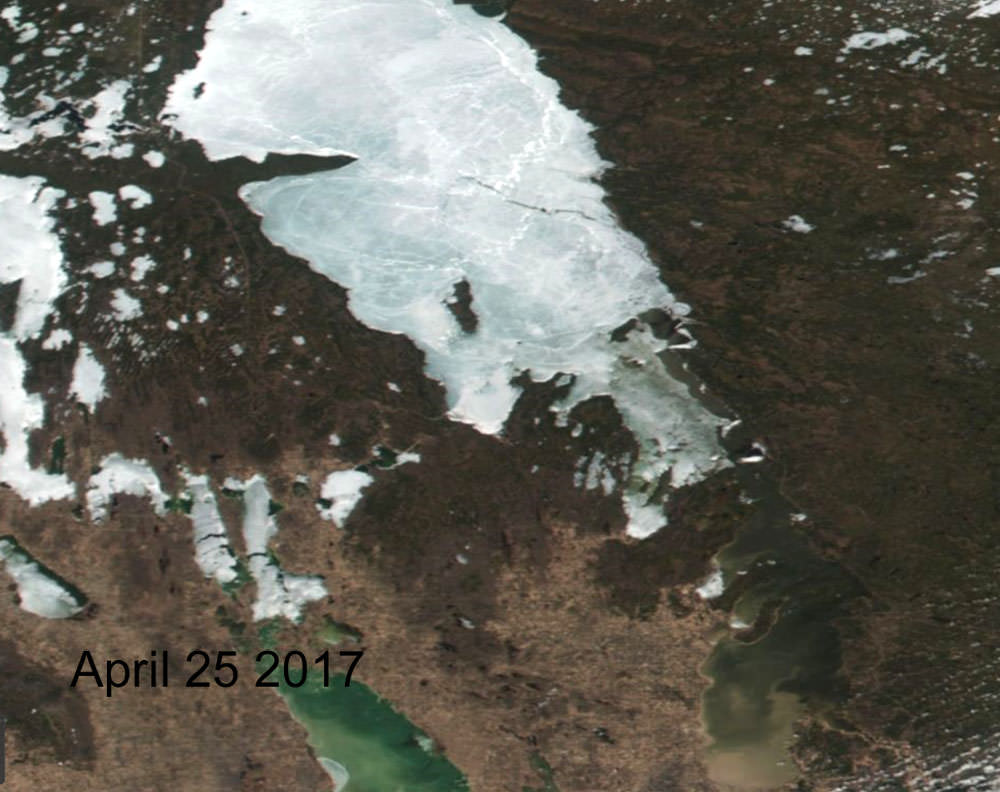
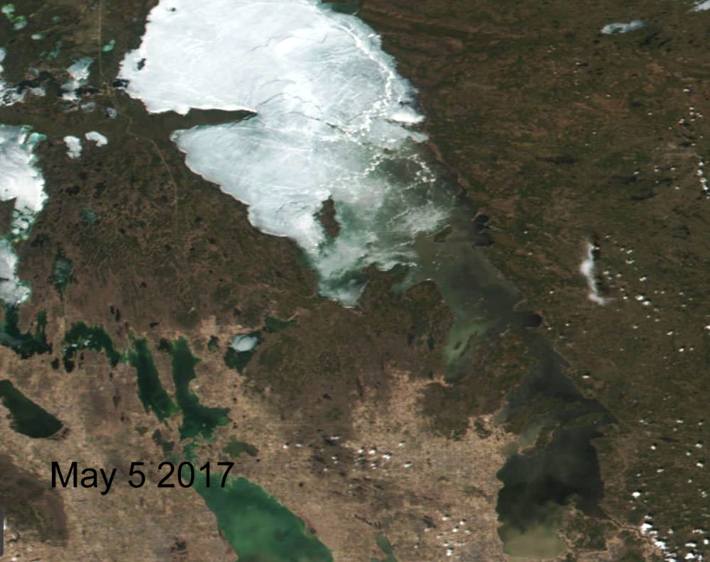
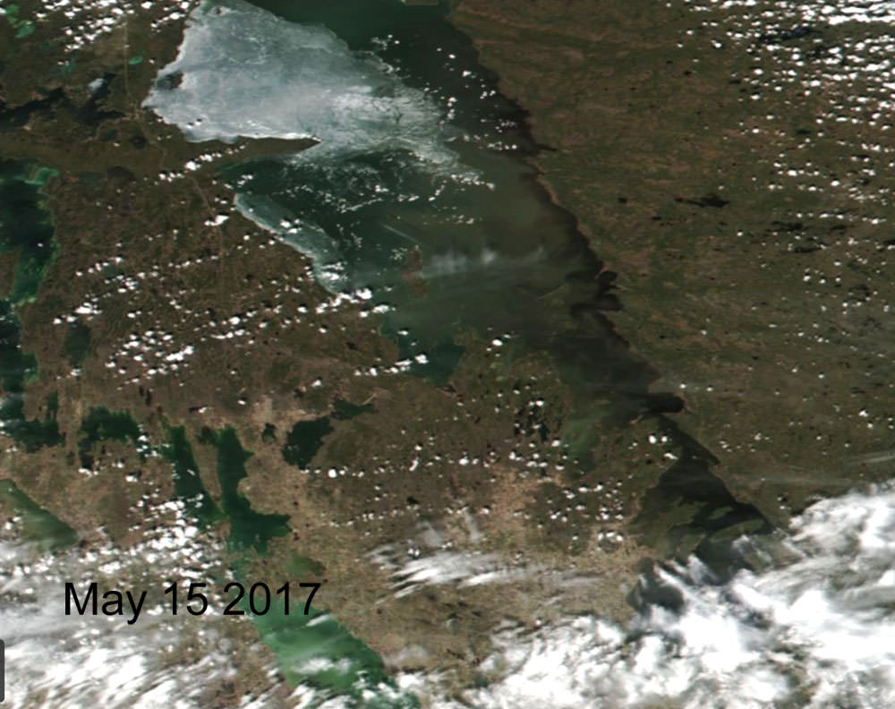
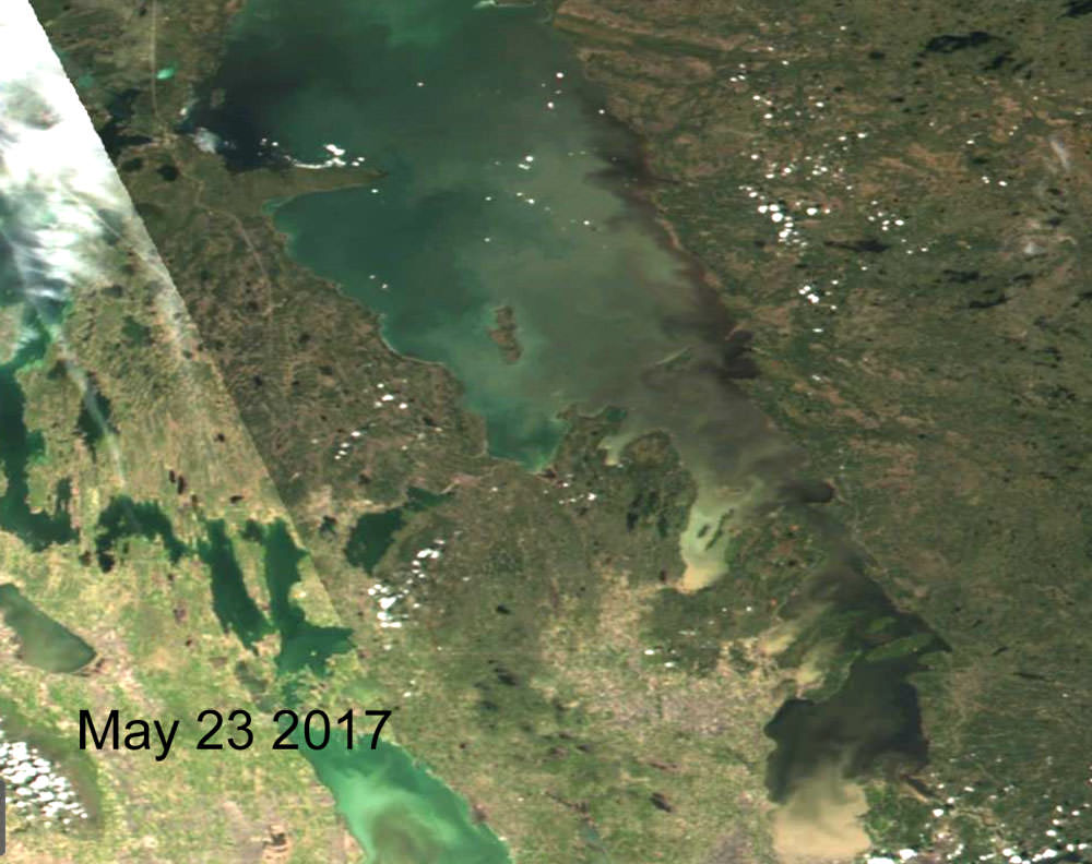
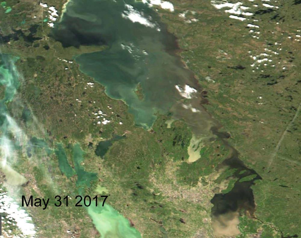
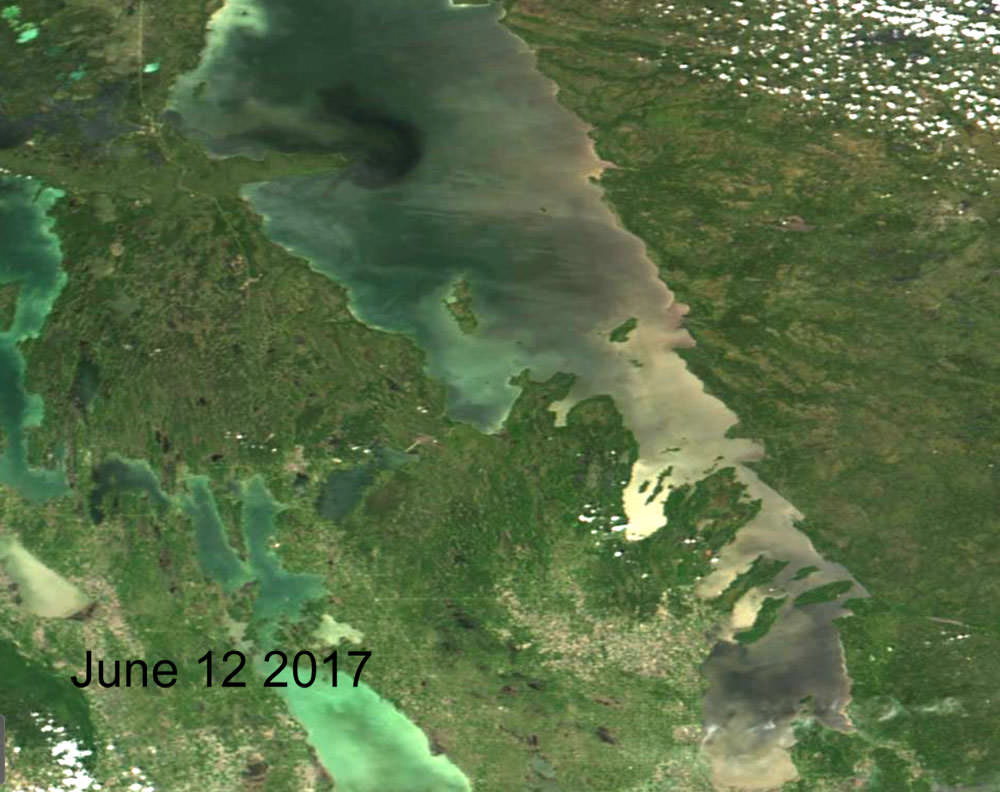
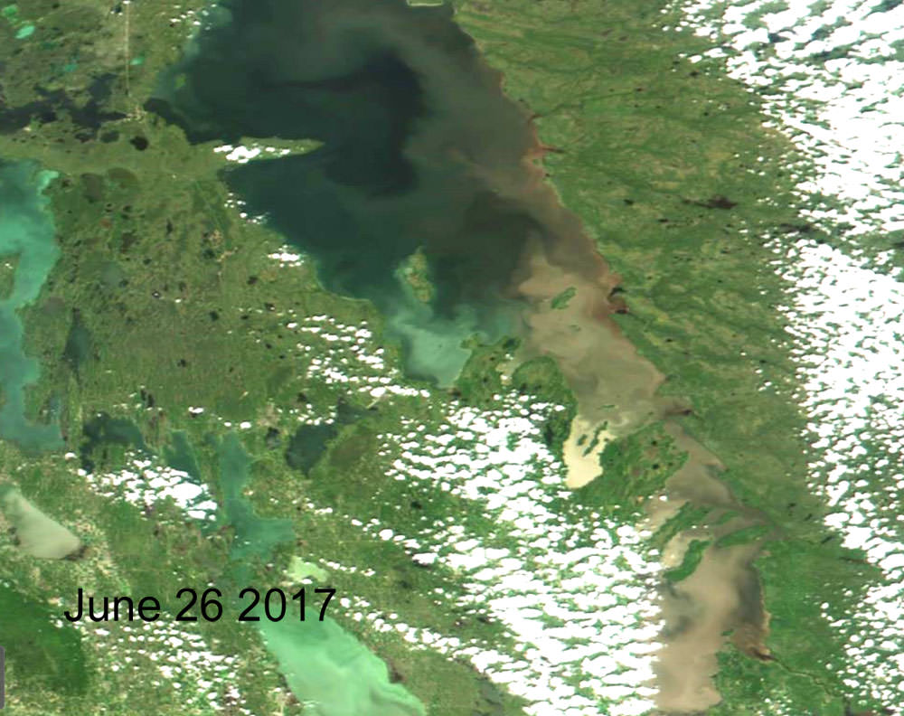
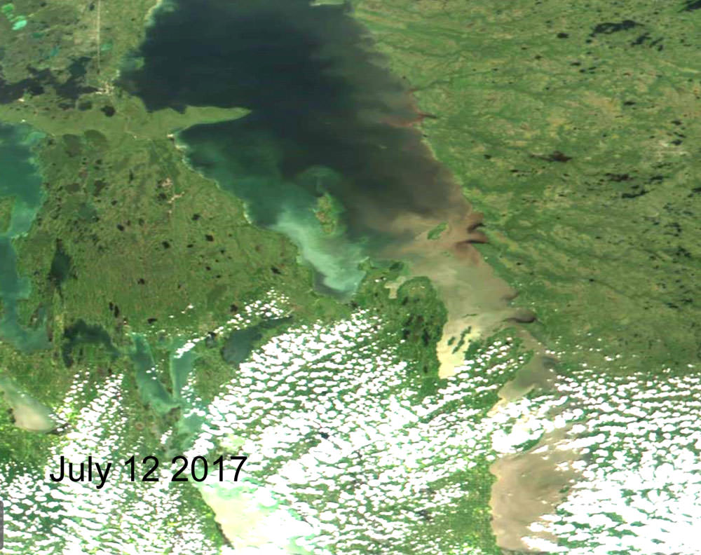
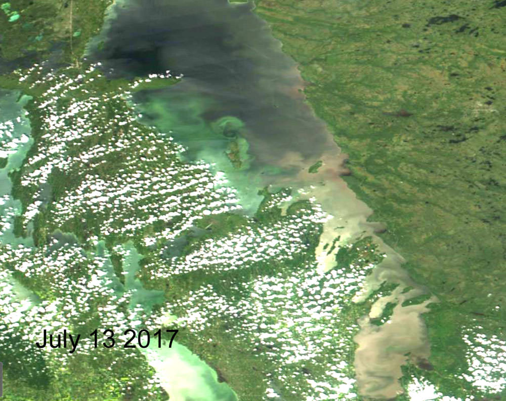
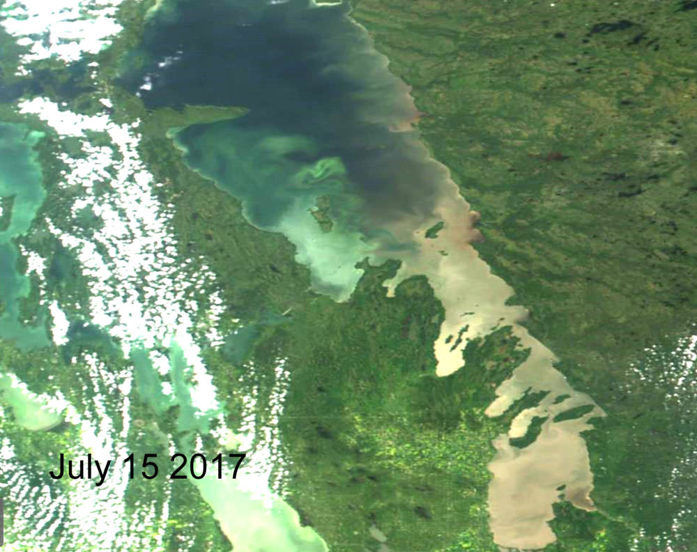
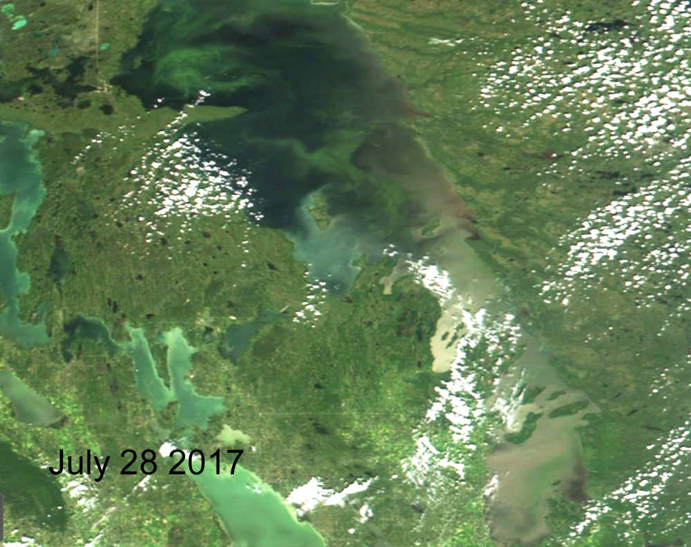
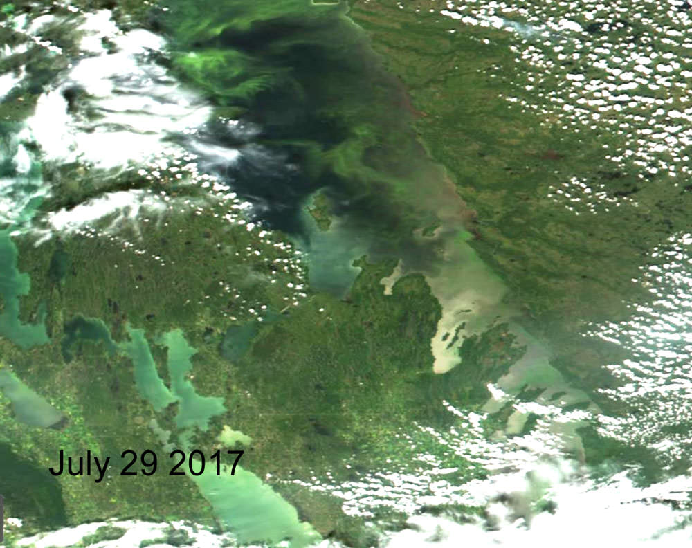
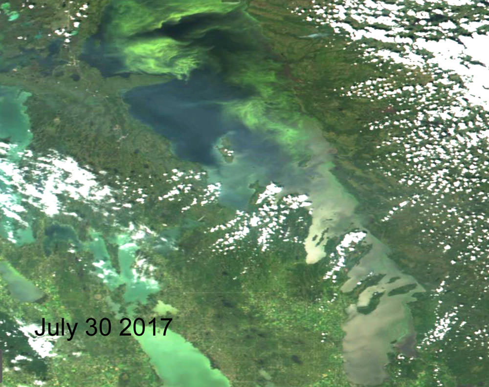
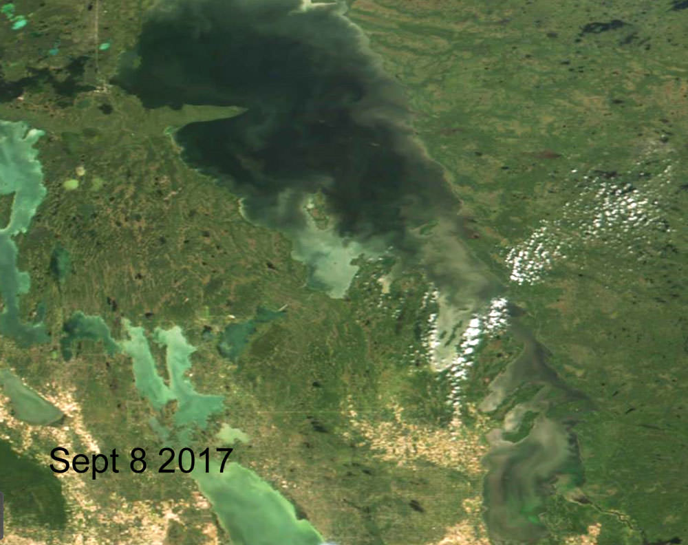
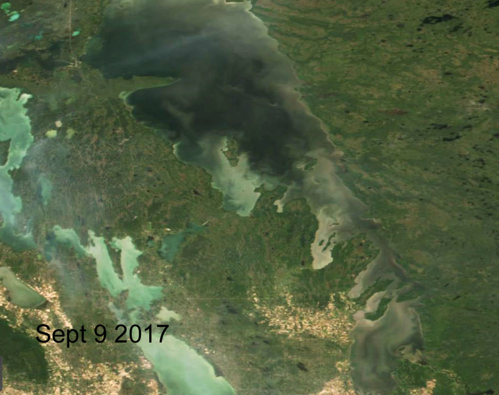
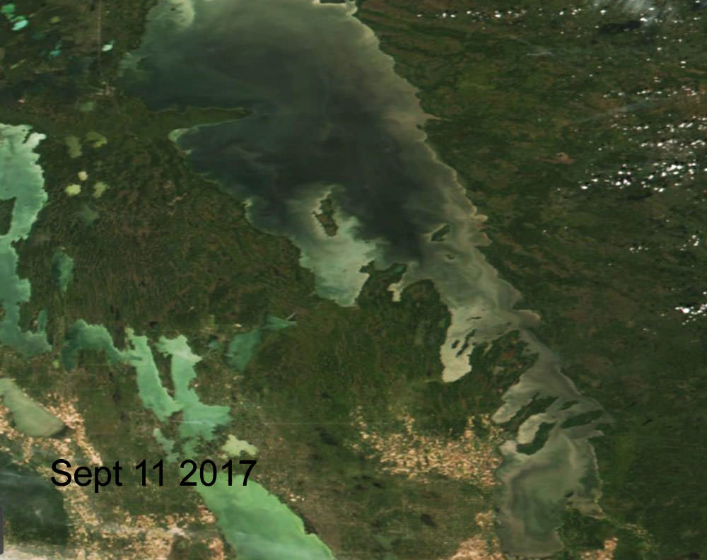
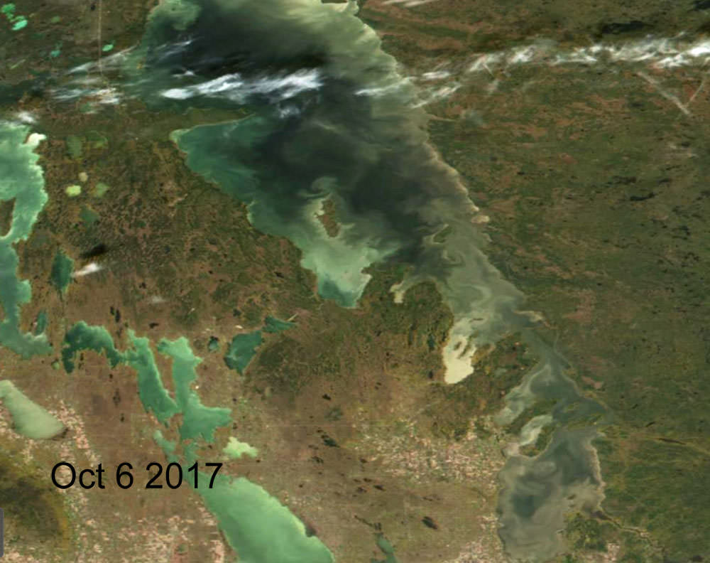
- Selected projects: Mapping a time series of total suspended solids in the surface waters of Lake Winnipeg, and publication of the use of synthetic aperture radar and optical data for mapping the coast of large lakes.