Lake Ice hazard Research and Development
NextGen has conducted R&D on lake ice hazards using radar satellites and drones starting in 2018. This page provides background and context to our research work and new research as it unfolds. Our research on lake ice is perpetual and feeds into new versions of our app, Ice Time. This page will also capture some of the results of our work in a new multi-year project with the Canadian Space Agency where we classify radar images of lake ice using Artificial Intelligence.
If you are looking for the app “Ice Time” click here.
March 31, 2019 - NextGen completed a comprehensive study funded by the Canadian Space Agency (CSA). Our novel project, considered a success by the CSA, studied 84 lakes over three winters which spurred the development of the world’s first RADAR satellite based Lake Ice Hazard Advisory Service.

This research and development was undertaken with the financial support of the Canadian Space Agency.


Lake Ice Change and Climate Resiliency
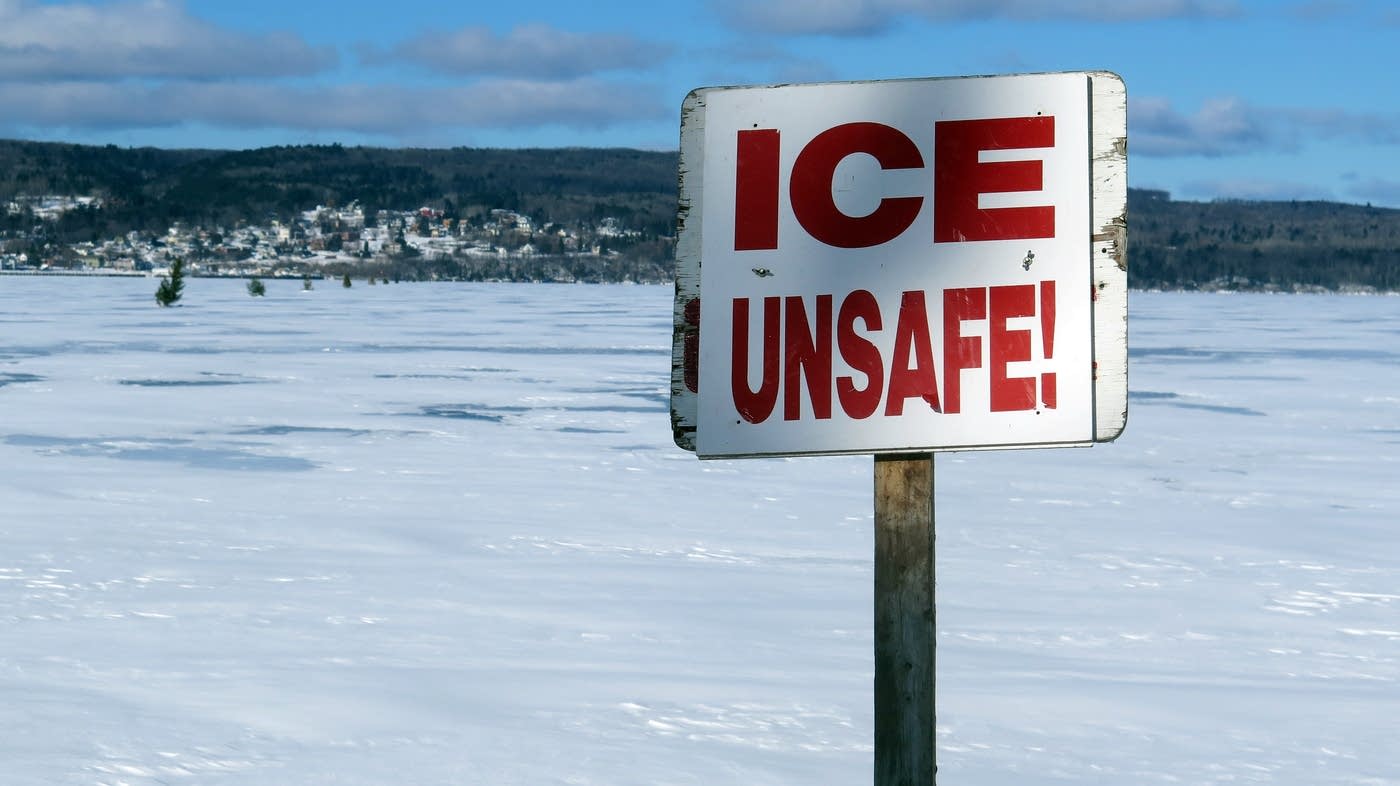
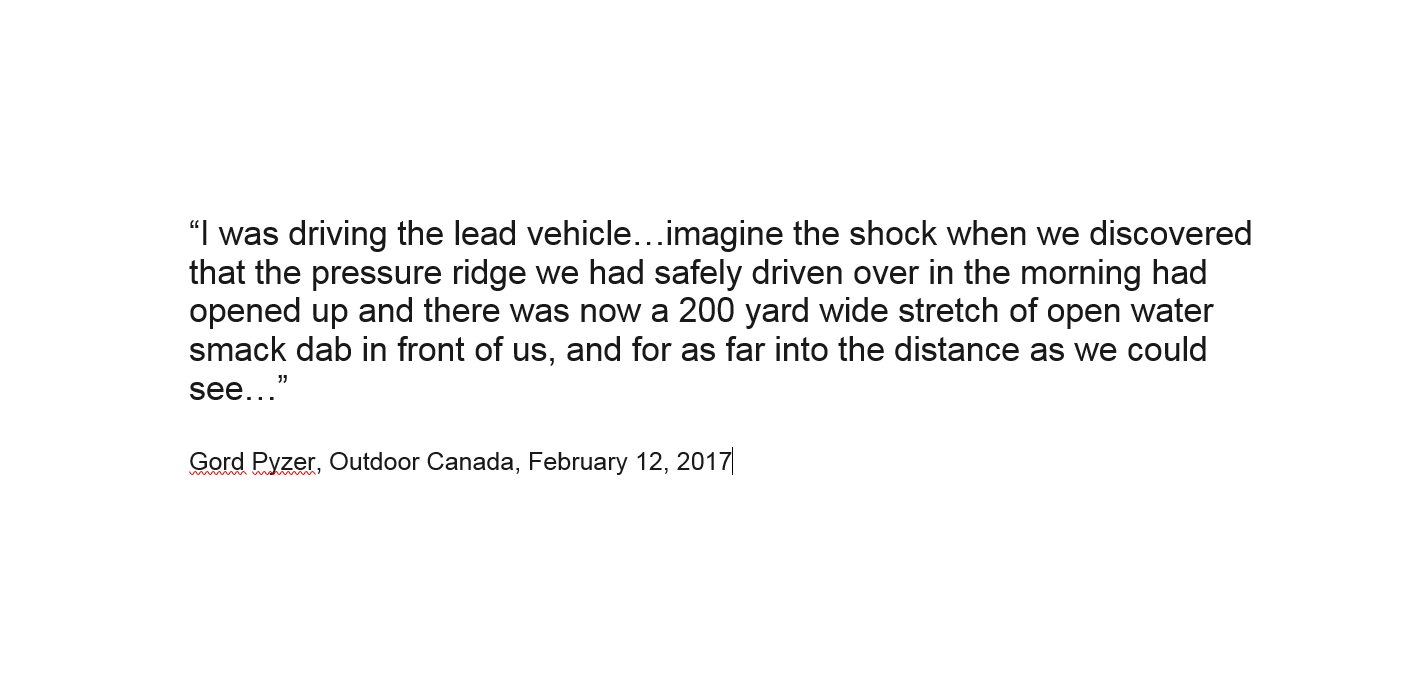
Frozen lakes are common features of our landscape and are an important cultural heritage. It is unfortunate that most people must learn lake ice safety on their own, step by step, by trial and error. That is the inherent nature of risk. A study published recently in Nature Climate Change indicates an extensive loss of lake ice will occur within the next generation. This is not the distant future and can challenge even the experienced as we all head into a new ice regime. Such climate change could have profound effects on many remote communities and the recreational activities of an increasing number of lake ice users as our populations grow. Inter-annual climate variation is superimposed on this warming trend. This means the risks we understand today are likely to increase as the ice conditions that we have become accustomed to change. A new approach is merited to help ease into a warming climate.
Planning for and adapting to Change
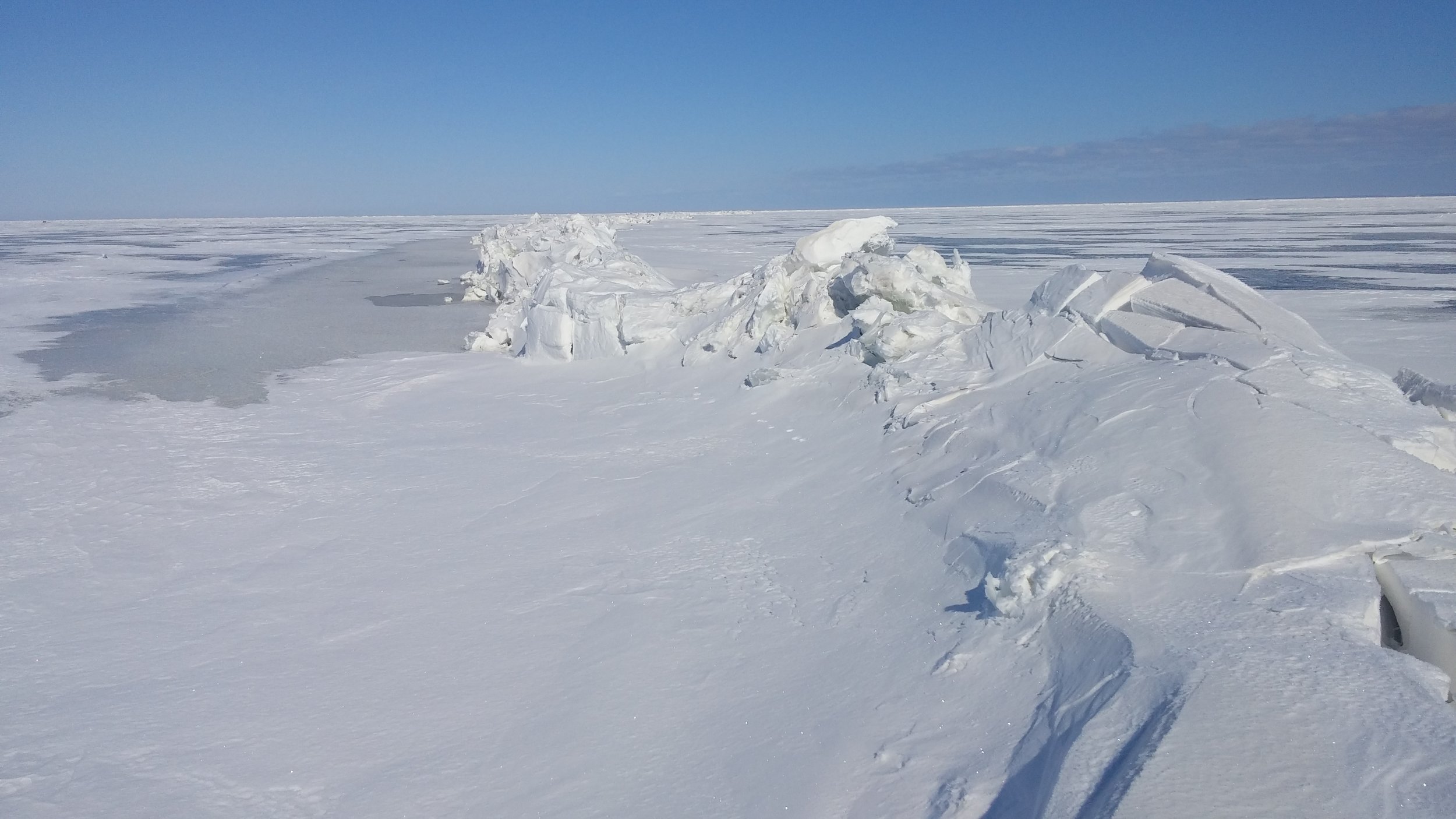
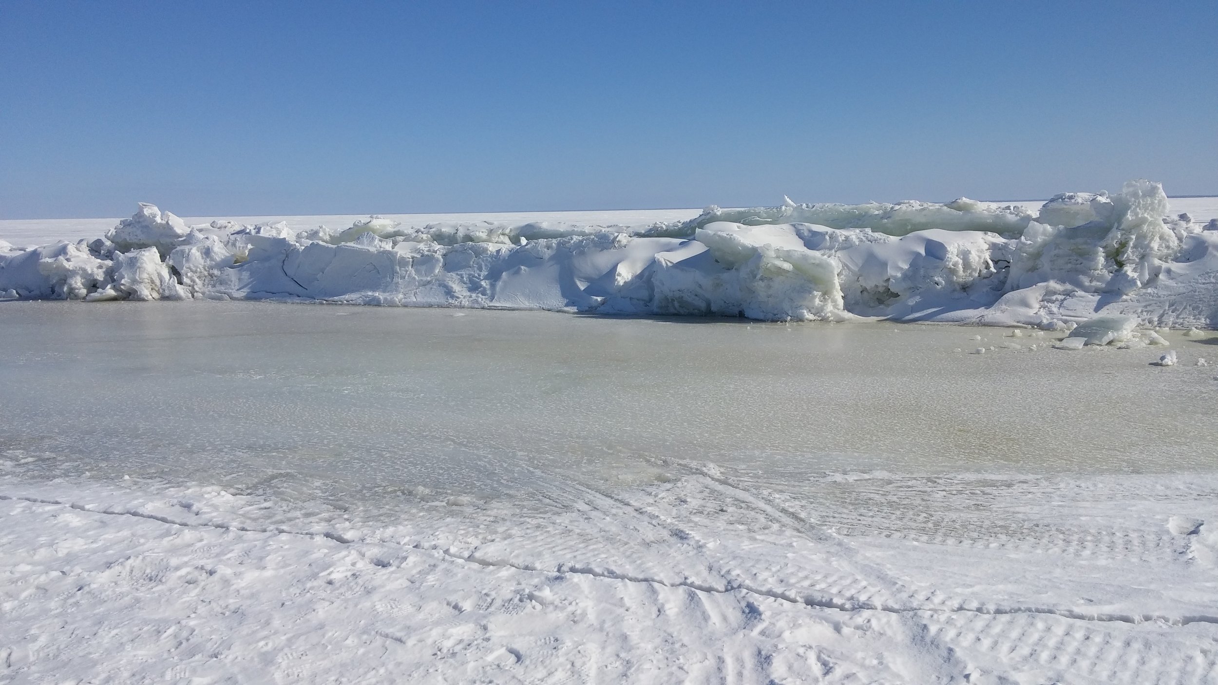
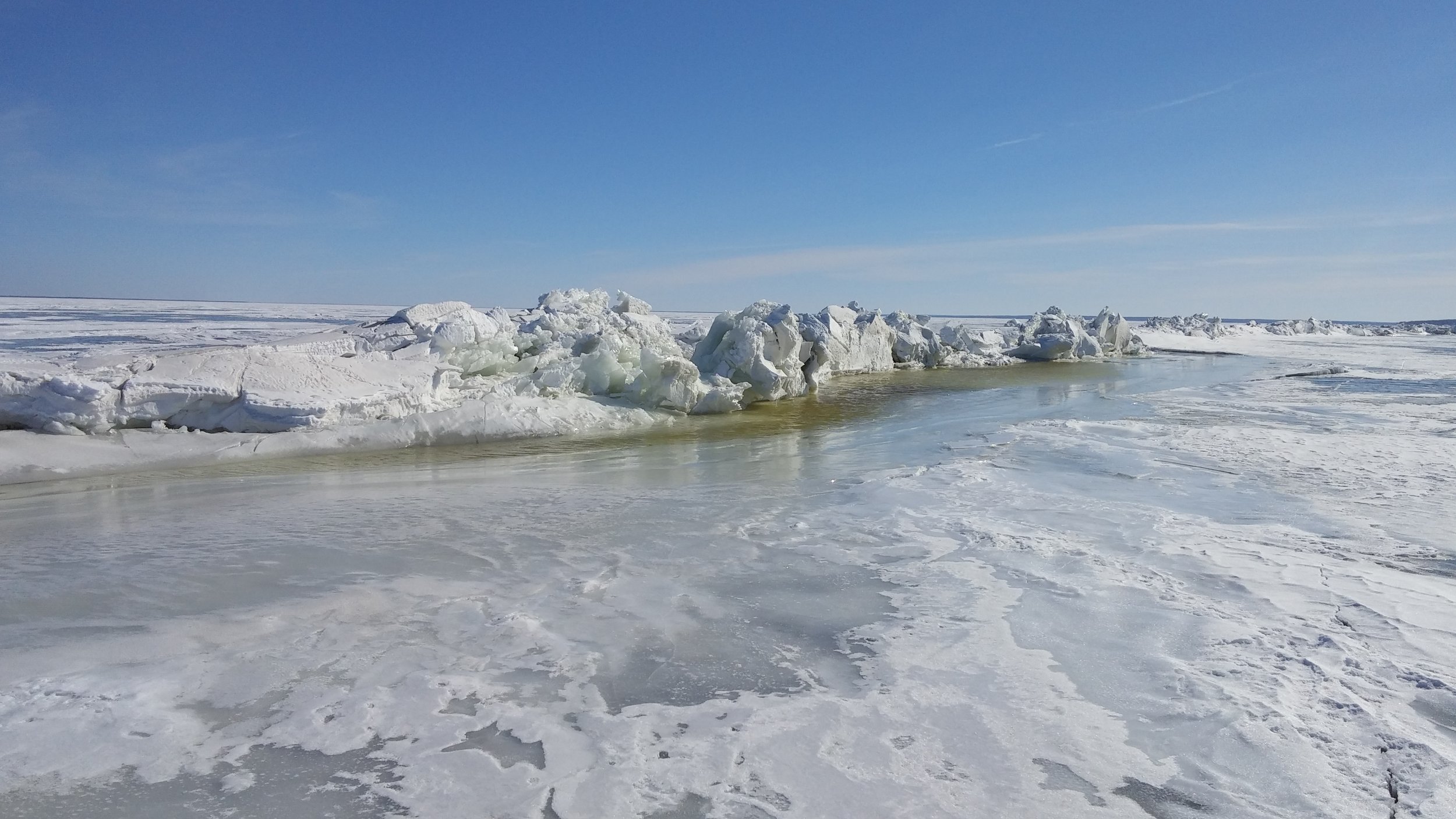
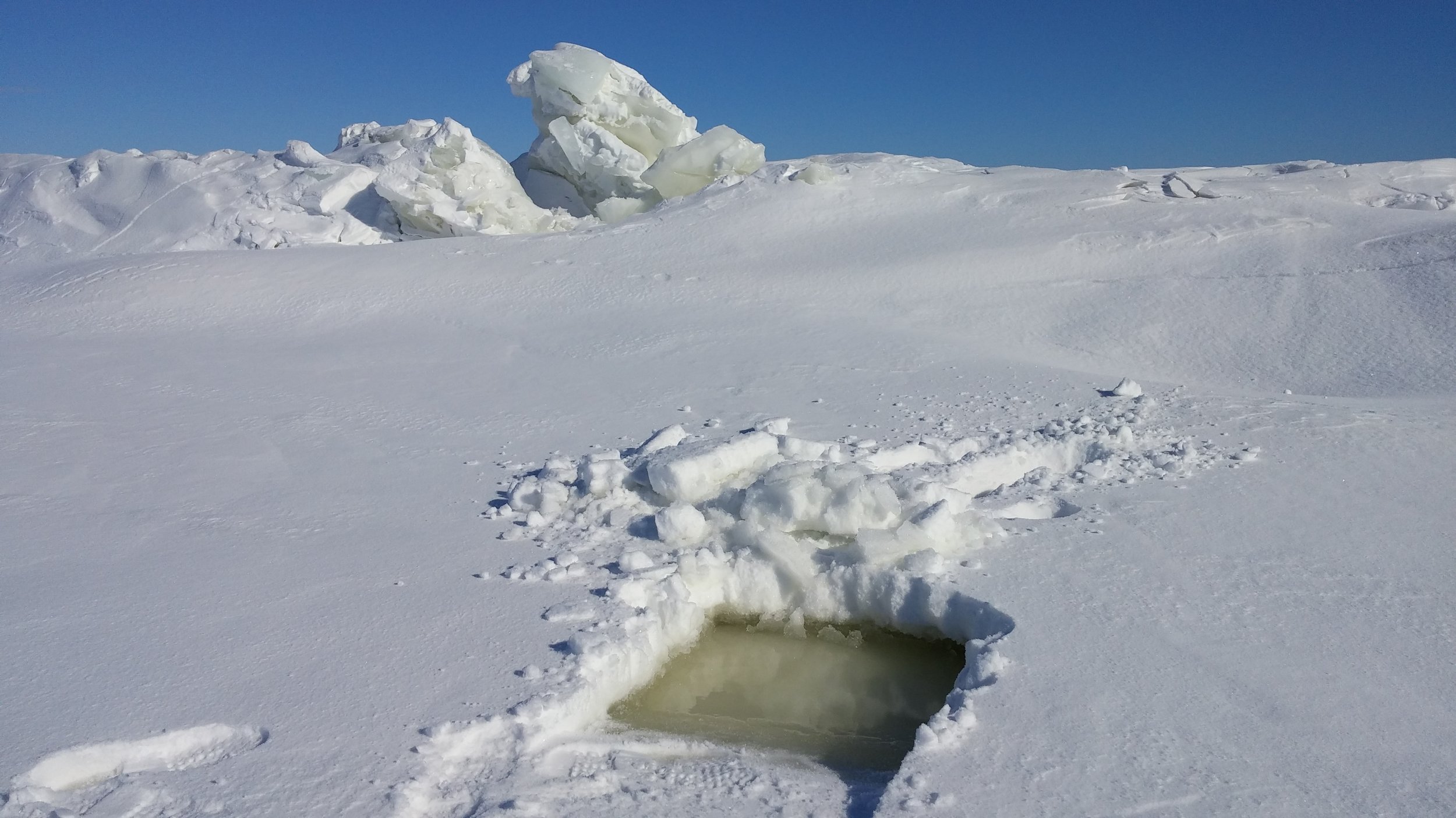
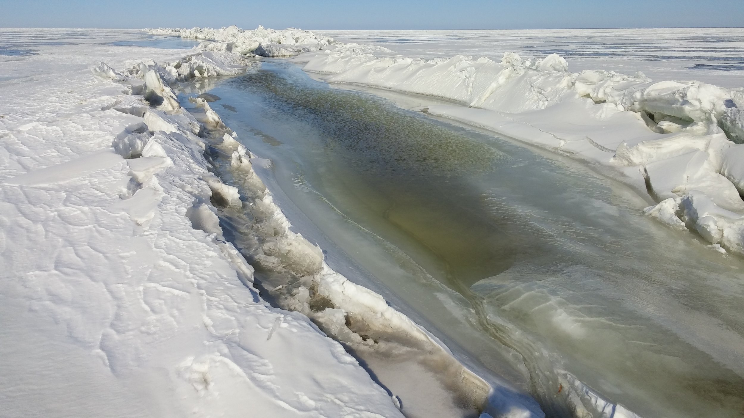
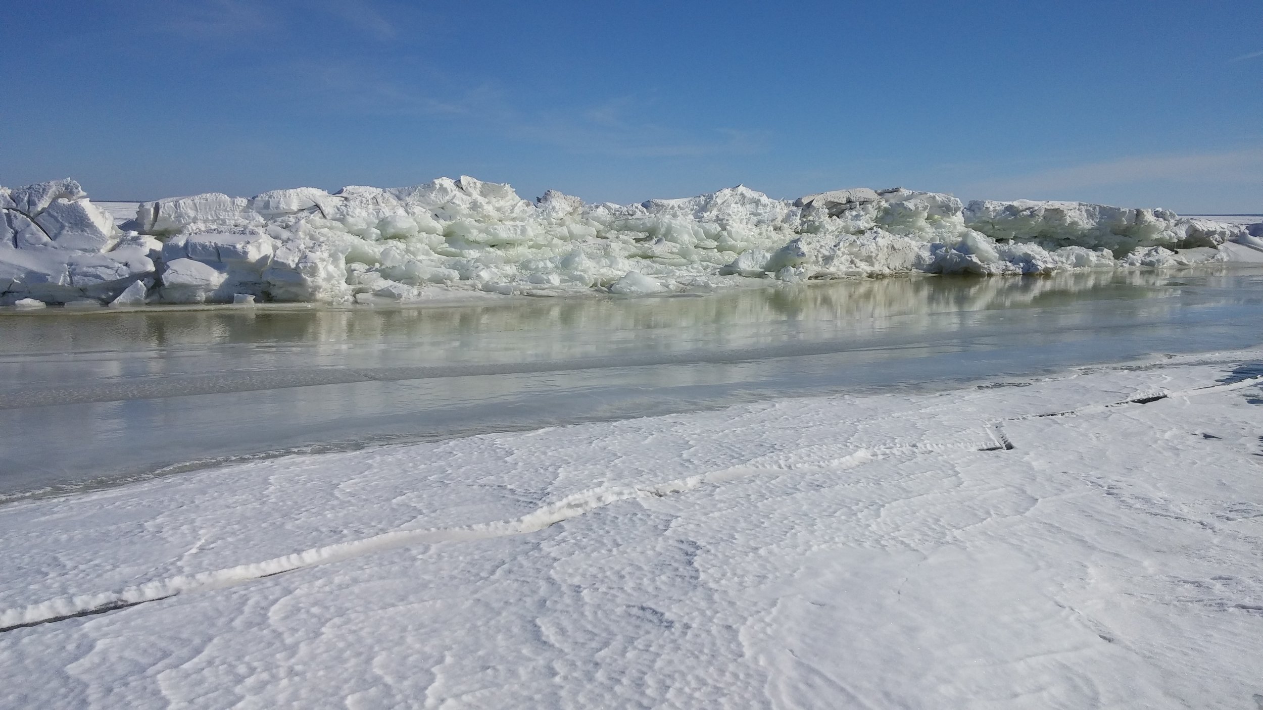
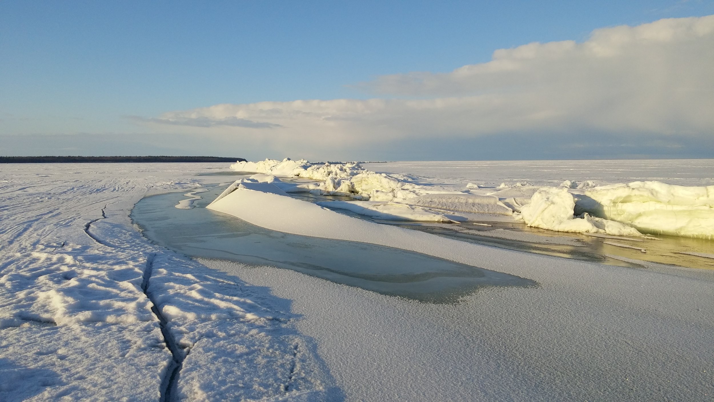
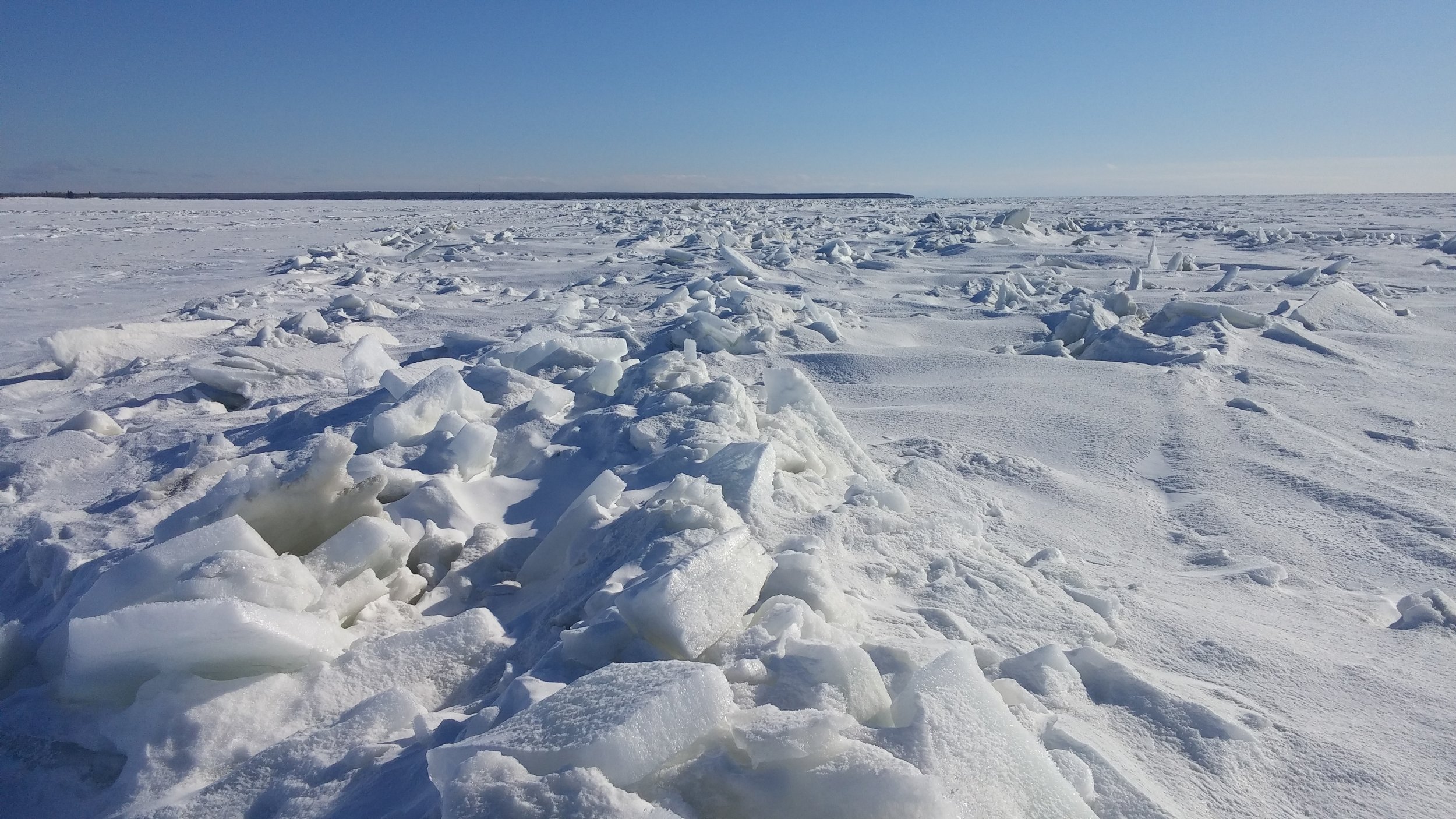
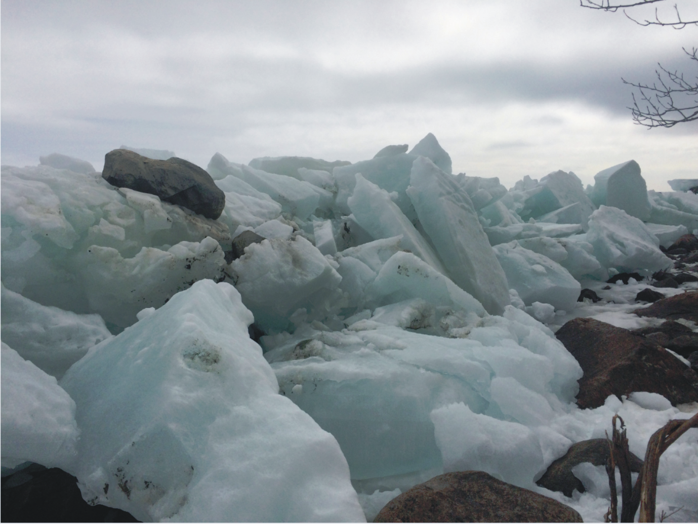
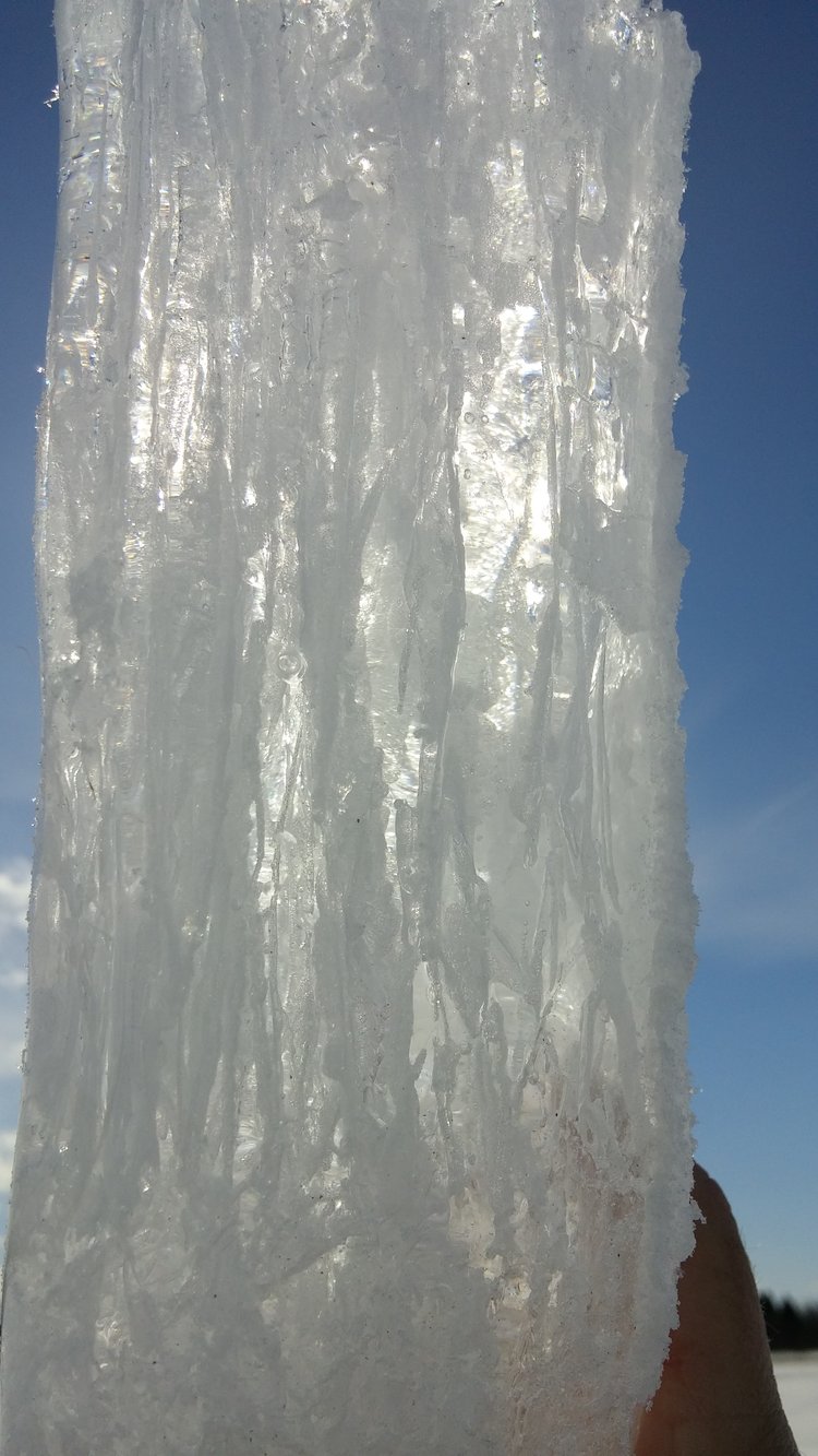
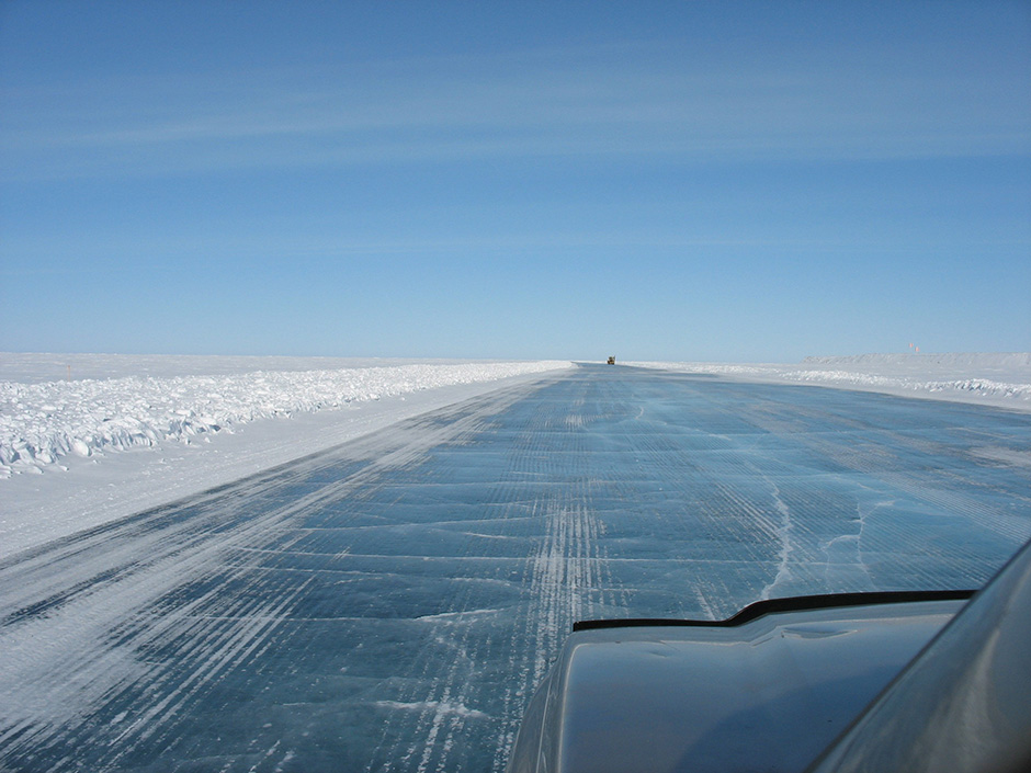
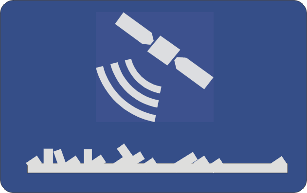
The hazards of travel on floating lake ice remain poorly understood. The risk of collision with rough ice or immersion of property and people can be reduced with education, planning, identification, and monitoring of specific risk factors. Our service educates by leveraging scientific experience learned on the ice, including detailed drone imagery which clearly shows the changes in risk factors that people seldom observe. We identify and monitor hazards to show where they are and how they can change during the ice cover period; this improves the situational awareness of citizens and first responders using lake ice. For businesses and governments, the service is a climate change adaptation tool that grows the competency of your staff and partners while improving climate resiliency of communities over time.
Synthetic Aperture RADAR Imaging
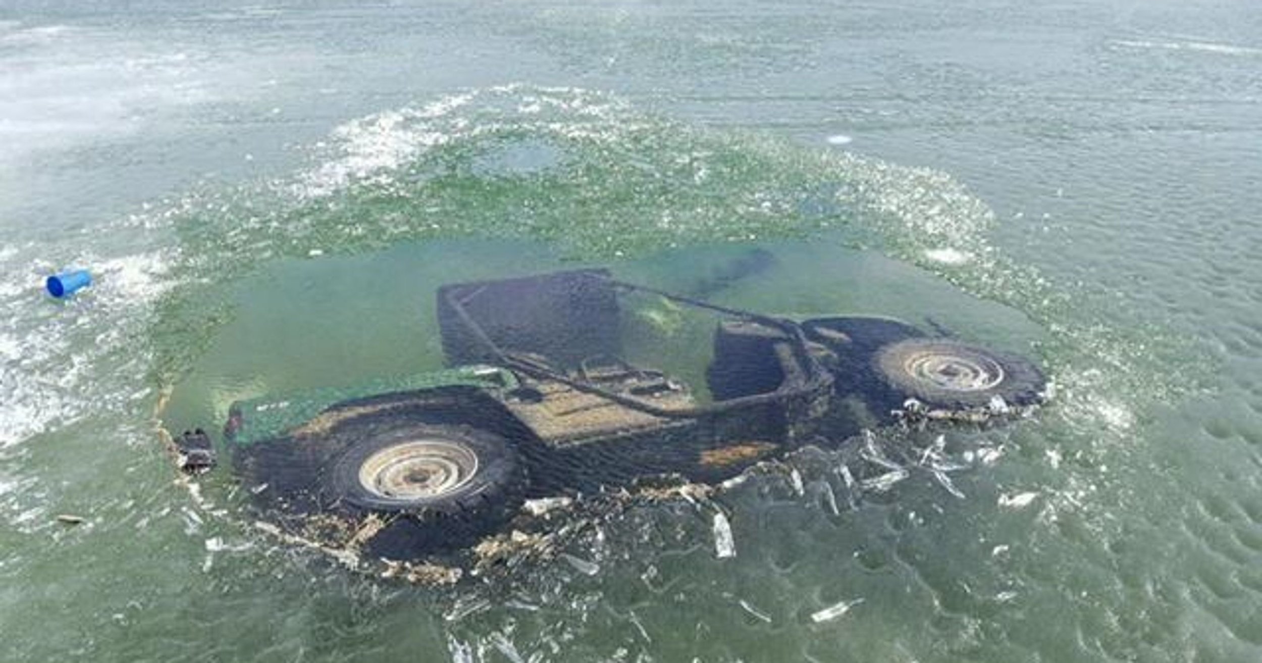
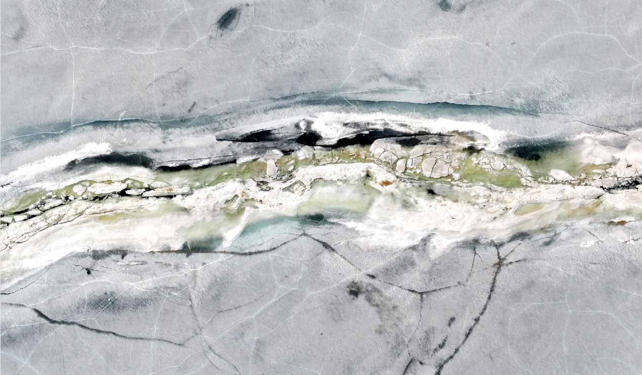
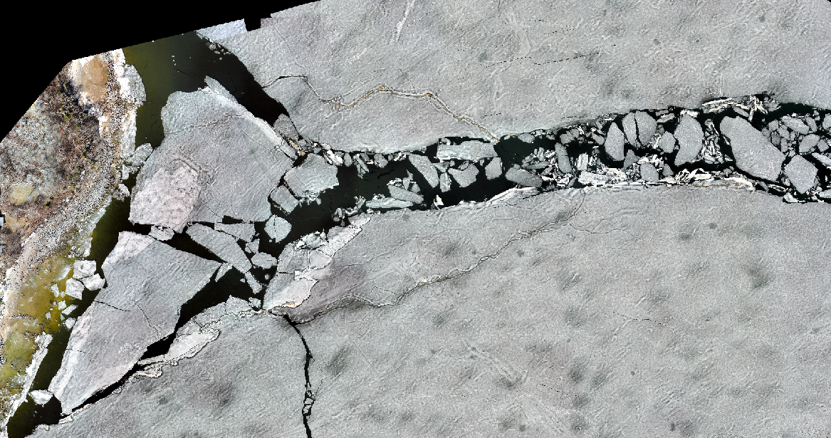
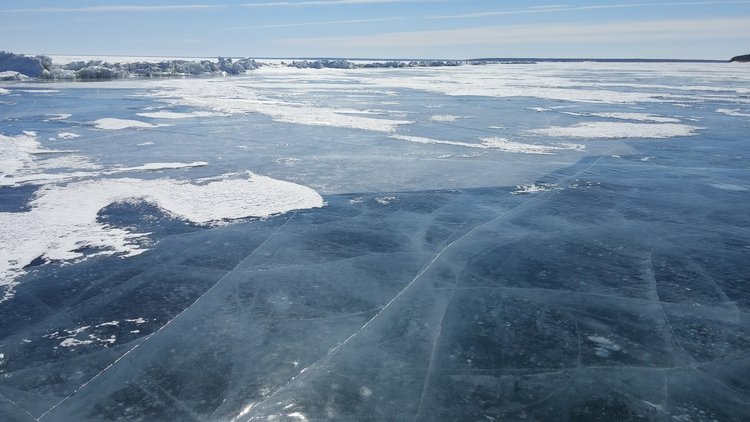
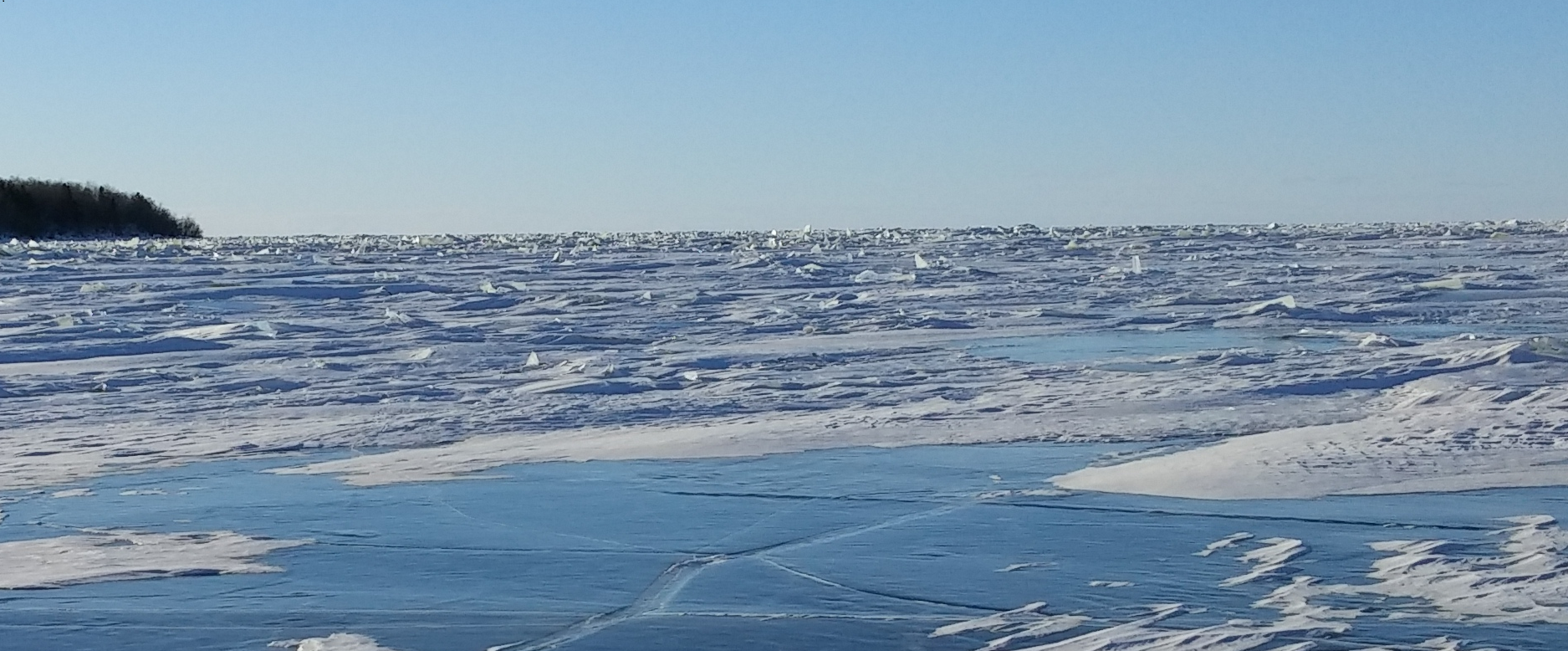
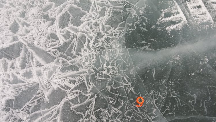
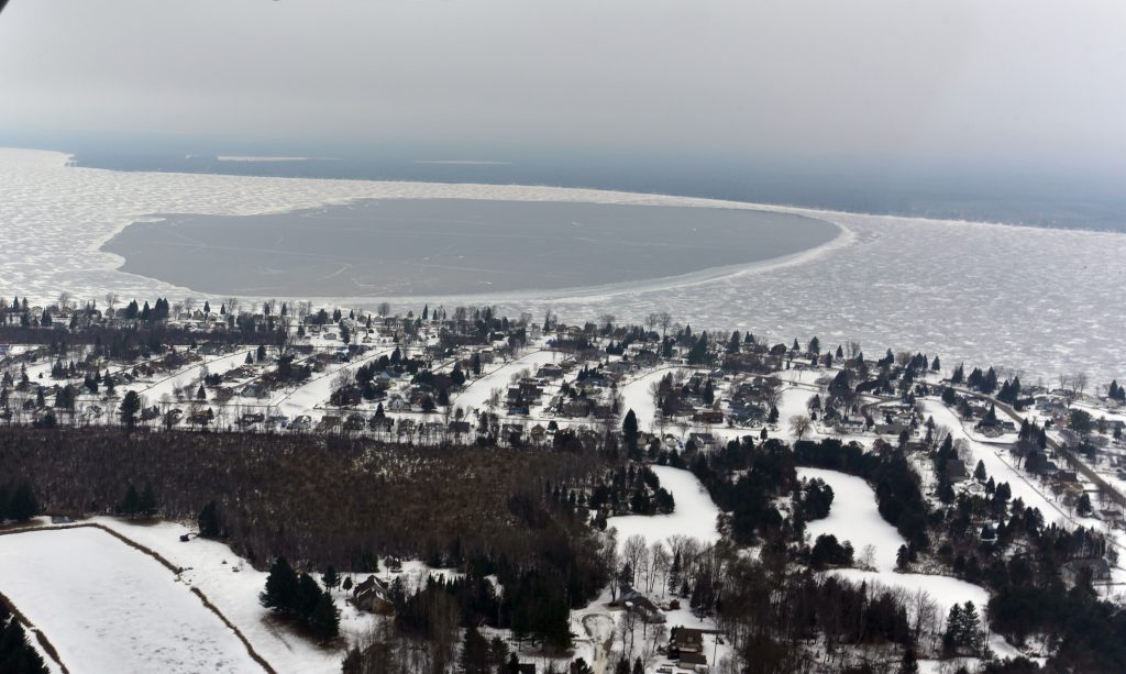
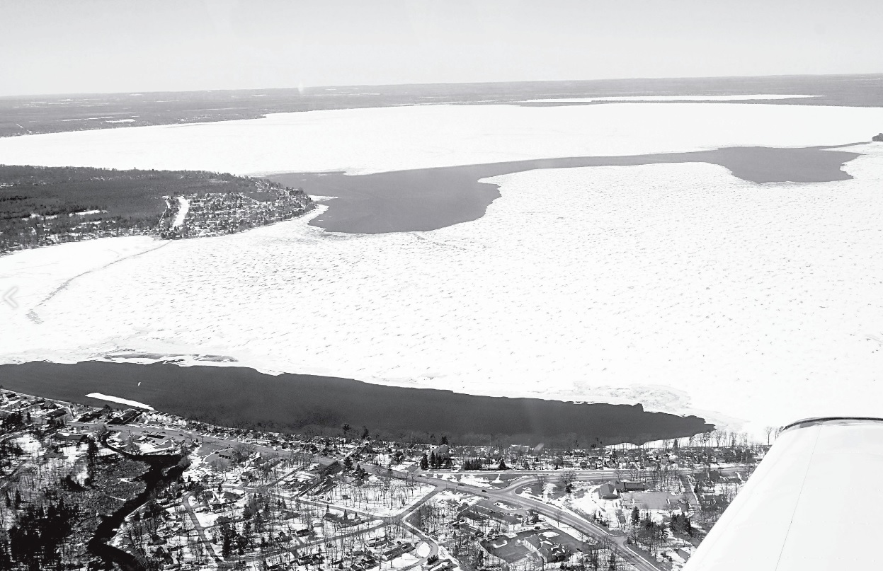
Our Lake Ice Hazard mapping application uses Synthetic Aperture Radar (SAR) satellite imagery to map ice hazards. The hazard maps can include formation of new ice, tracking the break-up and repeated movements of new ice to create areas of open water (i.e. creation of persistent variable ice thickness), and identification of pressure ridges, rubble ice, shore/push ice, leads, and cracks. Also, rapid snow melt on the ice “re-floods” the ice which can be detected using radar images. Re-floods immobilize vehicles which incurs damage or loss of vehicles when they freeze into the ice. NextGen publishes climate information with each map. This helps users of our app to better understand the state of the ice, the recent climate effects, and the types of changes that can be expected.
The maturation of satellite imaging and internet technologies means we can detect properties of lake ice from space at night and through clouds during the day. The hazard maps can be accessed in near real-time using internet technology and cellular phones.
NextGen continues to develop and apply the new state of science and technology. We have applied these new advances in understanding to challenging ice conditions, including those found at the scale of the southern basin of Lake Winnipeg for the 2018/2019 ice cover period, for example.
Please see our April 2019 Lake Ice Newsletter request form below and Contact Us for more information.
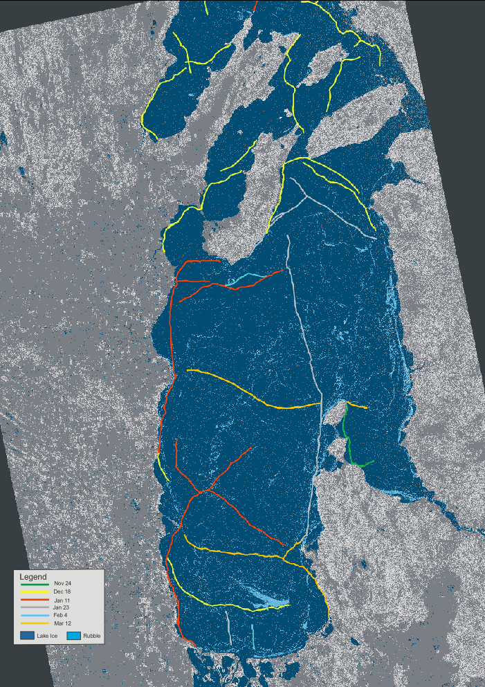
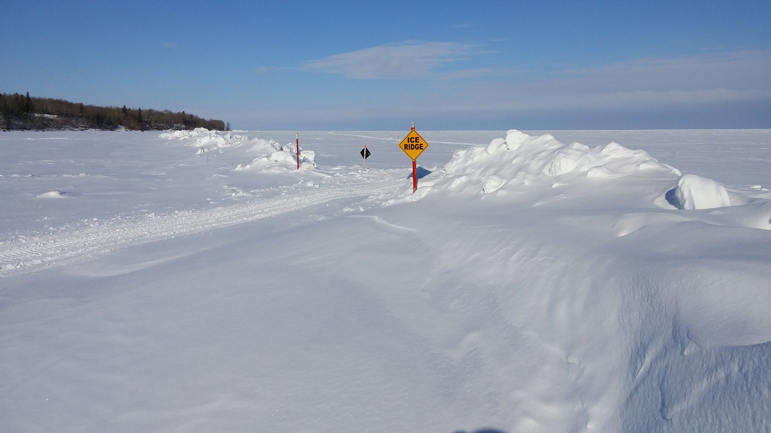
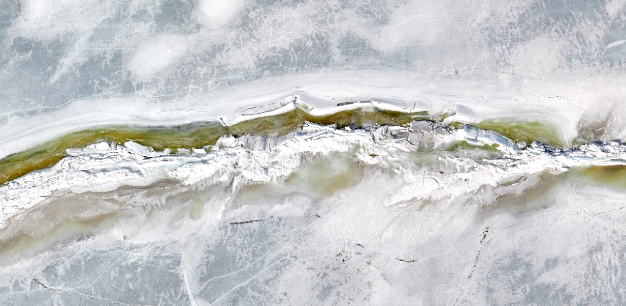
Distribution of lake ice, rubble fields, and pressure ridges from November 24, 2018 to March 12, 2019 in the southern basin of Lake Winnipeg. Dates indicate the first imaging of the emerging ridges. As of March 12, the length of pressure ridges present was 523.9 km. Use images like this to identify hazards and plan your route before accessing the ice.