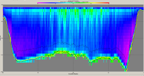
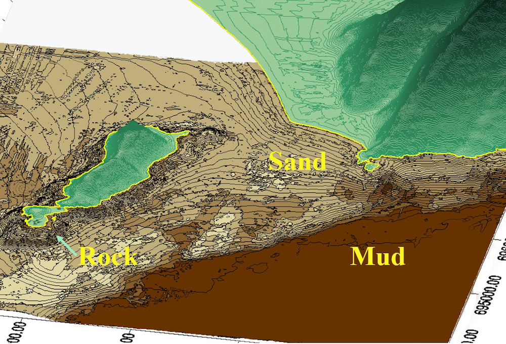


NextGen has more than 20 years’ experience in mapping bathymetry, water surface and bed elevation, substrate, and aquatic plant mapping in lakes, rivers, and reservoirs internationally. We pioneered the use of vertical bottom typing systems for mapping substrates in central Canada in 1996. We are among the most knowledgeable service providers of freshwater habitat information in North America.
Our Experience Includes: